Drone News
Microdrones unveils EasyOne, new survey-grade LiDAR drone

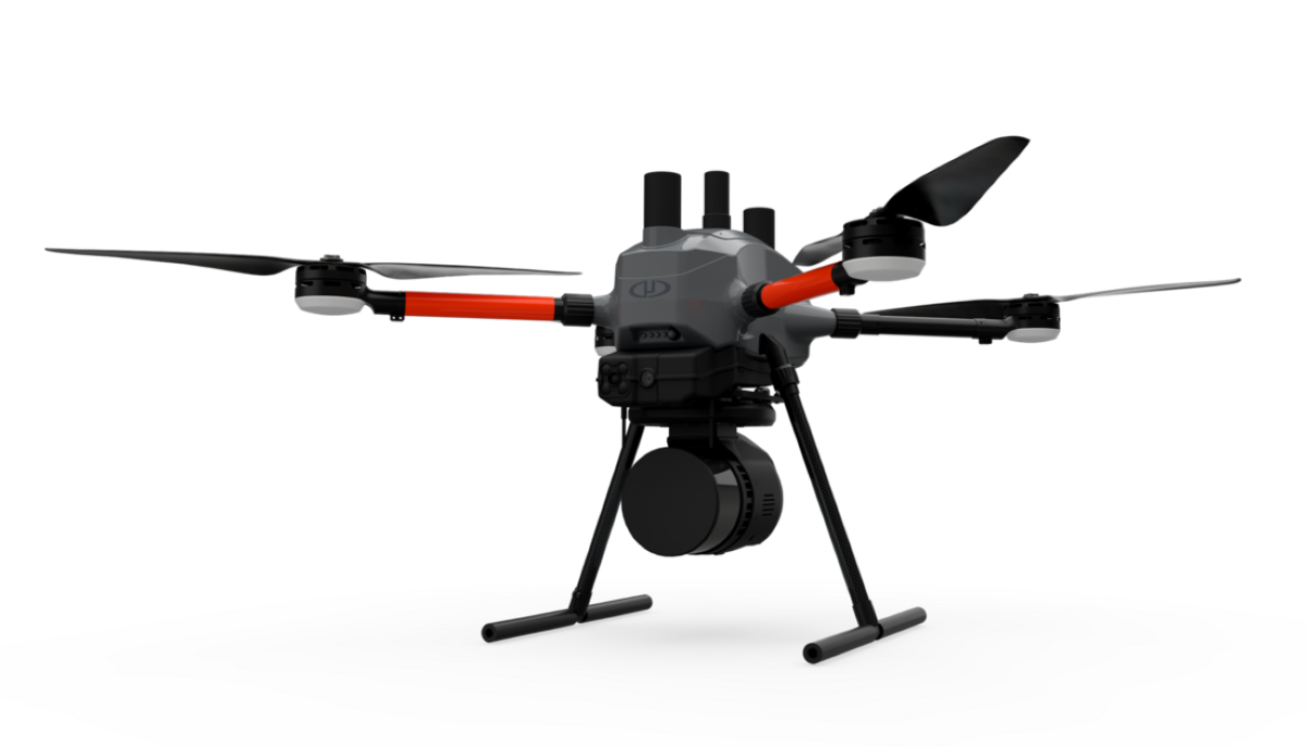
Microdrones, an aerial mapping technology company with German roots, has built a new drone platform to cater to the demands of surveying professionals. Named EasyOne, the new Microdrones offering is an optimized and fully integrated drone system with the lifting power to carry LiDAR and photogrammetry surveying equipment.
According to Microdrones, EasyOne is just as powerful and capable as the company’s legacy systems, such as the md4-1000, but it’s even easier to use.
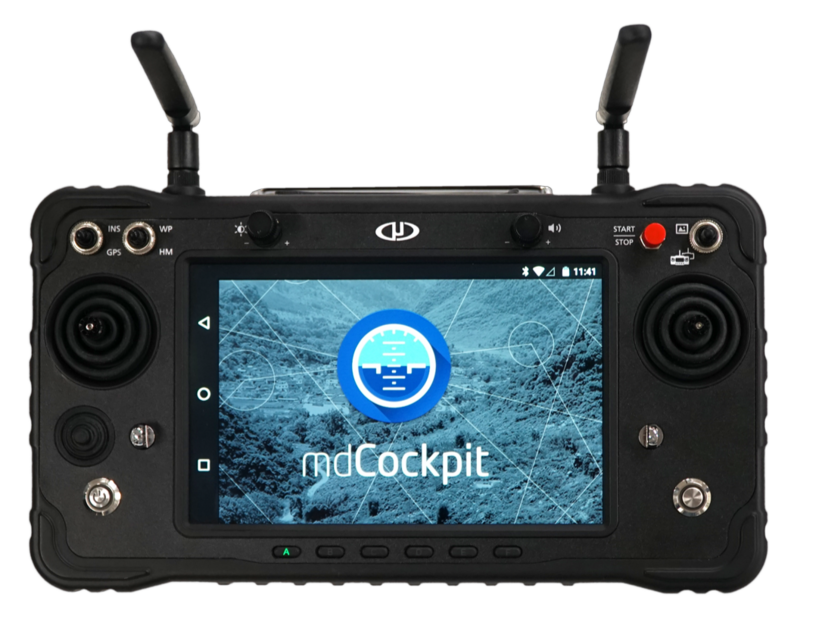
As Frank Darmayan, company CTO, explains, “It fits in a case that’s about two and a half feet long and a foot and a half wide and deep. The mdCockpit mission planning screen is fully integrated into the remote controller. And all sensitive onboard electronics are designed, manufactured, and assembled in Germany.”
While you can find the complete technical specifications of the EasyOne LiDAR drone here, MicroDrones CEO…
Source: dronedj.com


