Drone News
How this company plans to 3D map the entire world

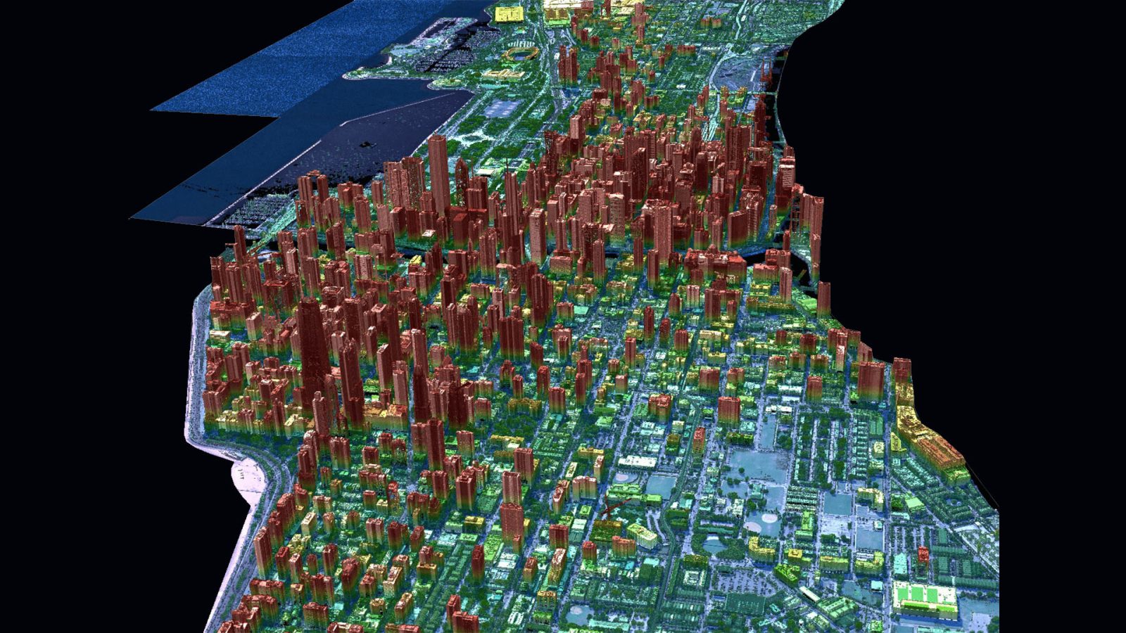
Generally, if you want a 3D mapping of your land, city, or building, you would have to go to solutions with aircraft or drones. However, a new company that came out of stealth mode this month wants to take the power of LiDAR and put it in orbit to 3D map the entire globe.
What can you do with LiDAR?
There isn’t a shortage of companies providing radar or optical products from orbit. Just scroll through a list of publicly traded space companies. However, these solutions don’t offer the accuracy of land elevation needed for some industries. That’s where LiDAR comes in.
LiDAR, or Light Detection and Ranging, is a way to measure ground elevation with light with millimeter accuracy. The process works by shooting a light beam down at the surface and then measuring the light that returns after being reflected by the ground. The sensor can also detect changes made to the light if it passes through the foliage, like trees or bushes.
However, that…
Source: spaceexplored.com


