Drone News
Volcanic Survey by Drone HexaMedia

This article published in collaboration with JUIDA, the Japan UAS Industrial Development Association.
Continue reading below, or listen:
HexaMedia investigated a volcanic crater 2,500m above sea level. The flight was completed beyond visual line of sight (BVLOS), using UgCS for 3-dimensional flight route planning and automatic navigation. HexaMedia completed the mission at night, as sunlight affects the surface temperature of active volcanos.
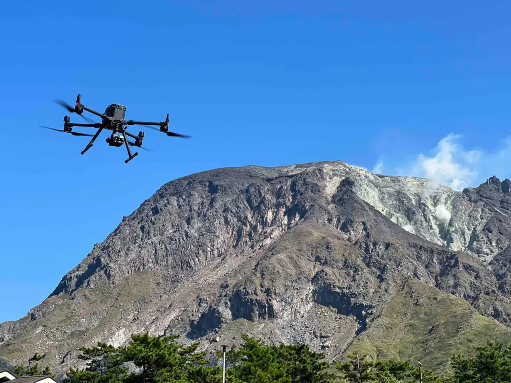
Drone takeoff and landing locations were set up at a safe distance from the volcano, outside the restricted area at the foot of the mountain. “For the first time, Mount Asama was flown at an altitude of 2,568 meters, a maximum flight distance of approximately 4,500 meters one-way, and a maximum altitude difference of…
Source: dronelife.com


