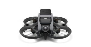
Ordnance Survey (OS), the national mapping agency for Great Britain, has decided to incorporate Altitude Angel’s aeronautical data into its in-house survey planning software. The information will help the geospatial experts at OS determine whether it’s better to carry out a survey using a drone, or if it’s more appropriate for one of the agency’s 230 surveyors to get their boots on the ground.
OS has been mapping Britain since 1791. The agency is considered a benchmark in the collection and presentation of mapping and geospatial data, recording and maintaining over 500 million geospatial features to keep the country’s national geographic database updated.
Explaining that having access to the most up-to-date and relevant aeronautical information as well as ground hazard data is critical for the work OS does, Matt Farthing, a technical consultant with the agency, says:
At Ordnance Survey, we probably have a better understanding than anyone of the…


