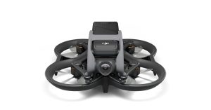
Over the past few years of terrible wildfires that have ravaged parts of Europe, Australia, and western US states, the critical use of UAVs in helping responders deploy to and battle hot spots has gotten deserved attention. Now, a group of researchers is developing a way of using deep learning neural computing applications analyzing drone images to automatically detect new fires, and identify hot spots requiring fastest reaction.
A group of professors at Indiana’s Purdue University has teamed up with computer and information technology graduate student Ziyang Tang to use neural networks and deep learning computers to speed up and strengthen the way images from drones can be used in fighting fires. At the moment, most analyses and decisions made based on aerial photos are taken by humans scouring footage taken over large expanses of burning land. The task is as huge as it is taxing, and the current objective is to make that faster and easier through…


