Drone News
Parrot and Rapid Imaging brings AR situational awareness to professional drone users

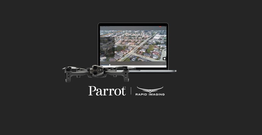
Advanced geospatial augmented reality overlays now compatible with ANAFI platform drones. (Courtesy photo)
MIDDLETON, Wis. — Parrot, the leading European drone group, announced today its partnership with Rapid Imaging – a technology provider delivering geospatial augmented reality (AR) and situational awareness solutions to government and enterprise users.
…
Source: www.ems1.com


